


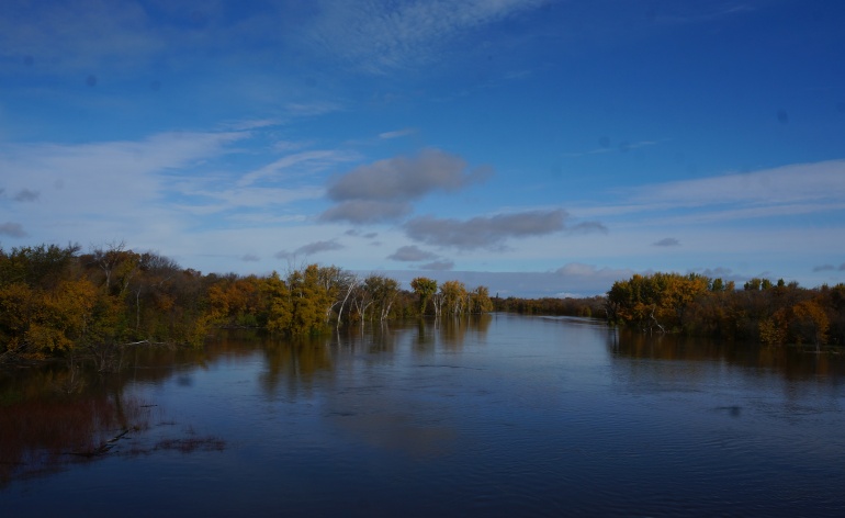
River levels continue to rise in the Red River Valley, and provincial officials are watching the situation closely. According to information released Monday by the Hydrologic Forecast Centre runoff appears to be slowing in areas that received precipitation as rainfall during the storm. In areas that received precipitation as snowfall, runoff is expected to increase later this week as temperatures warm and snow melts.
Water levels on the Red River in the U.S. portion of the basin continue to rise in response to the recent storm event which also dropped significant snow and
Pumping operations for internal drainage at ring diked communities is underway at Dominion City, Morris and St. Adolphe. Provincial crews will continue to monitor water levels as they rise and may begin pumping operations at Emerson Monday or Tuesday. Depending on water levels, pumping operations may be required at Rosenort. Crews continue to monitor water levels and local conditions, but no partial or full dike closures are expected to be required at this time
Flows continue to rise slowly on the Roseau River, but are near peak. The forecasted peak flow for the Roseau River at Gardenton is expected before October 16th. The Roseau River is reported to be out of bank near Dominion City, at Provincial Road 218, and near Stuartburn.


 Mon, May 13, 8:19 AM
 Full-time, Permanent, Labour, Manufacturing, Professionals, Skilled Trades
 Featured


